
Smart Cities save up to 95% of workwith automatic classifications of protection goals
The classification of your service area, according to so-called protection goals, is a fundamental part of your pre-incident plan or master fire plan. With our software Premergency this process becomes fully automatic and easy.
Classifying the service area may present big organizational challenges to cities or counties. This process makes up the largest part of the master fire plan. It involves A classification of all buildings, forestal areas, water areas, etc.
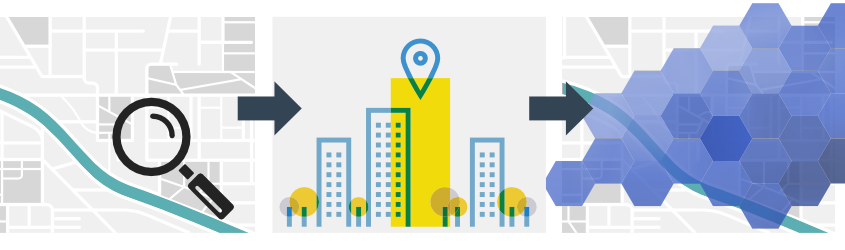
From now on, Premergency classifies your service area automatically and within a few seconds. At the same time, the software visualizes buildings, objects, and a planning grid on an interactive map. Therefore, Premergency is an absolute must for every planner and fire chief.
Protection goals in risk-oriented pre-incident planning
As part of the master fire plan, the service area is divided into several hazard classes, from which you derive protection goals. These goals are based on events, such as fires in a rural area. This is called scenario-based or risk-oriented pre-incident planning.
The functional strength (firefighters, and other team members), as well as the required equipment (vehicles, apparatus), may vary according to different scenarios, which are based on protection goals. A master fire plan thus includes between 12 and 15 protection goals, divided into 3 to 4 hazard classes (nuclear, biological, and chemical hazards, technical assistance, fires, storms).
If we imagine a medium-sized town with over 100 km of roads, 10 to 30 k buildings, forestal areas, etc., it quickly becomes clear, why classification is such a complex within pre-incident planning. Therefore, many counties see this work-intensive process as a major challenge.
With Premergency, this classification becomes fully automatic and work-saving.
- Save up to 95% of work with automatized classifications.
- display objects which require aerial ladders with one click.
- Supports you with listing all buildings with due inspections,
- Latest data and evaluations of the whole service area within only a few seconds.
After launching the algorithm, Premergency delivers results within a few seconds. The algorithm saves classifications and building data separately. After that, result tables can be exported into other programs (fire prevention, pre-incident planning).
The Premergency signature view with the planning grid will be automatically filled with the results. This provides the user with a detailed view of each building as well as a total view of the planning grid. The specific colors mark the highest potential danger (or protection goal). Additionally, these maps can be exported as graphics, as well as in ESRI™ Shapefile format.
Summary
With Premergency, the classification of the service area according to protection goals becomes fully automated and saves a lot of time. With only a few clicks, the app classifies each building. The automatic mapping provides you with an easily understandable protocol and pleasing visualizations. Use Premergency and save up to 95% of work within pre-incident planning.
